

Project Description
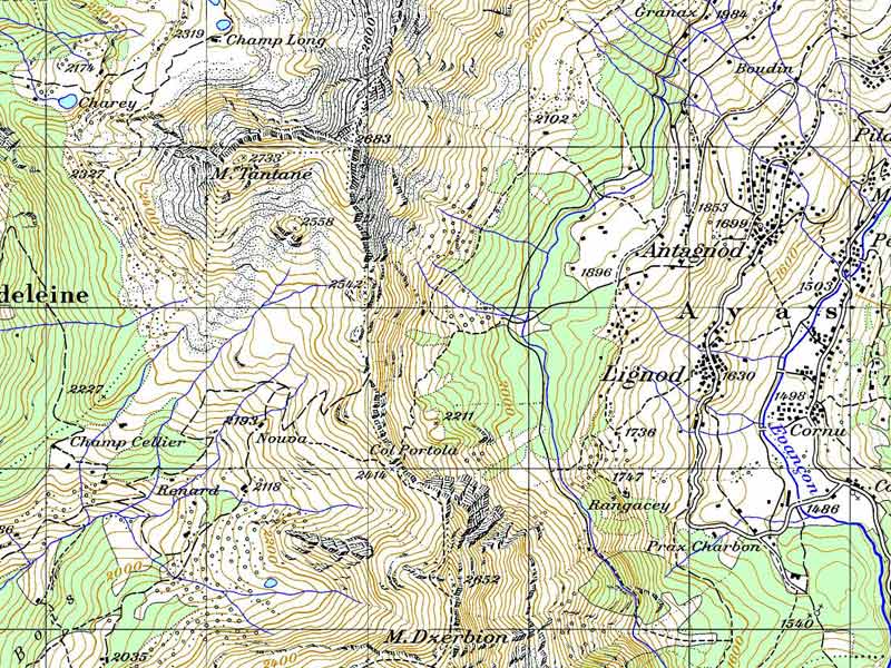
The main services provided in this sector refer to the geomatics, an integrated and multidisciplinary systematic approach for the analysis of the territory and the environment through information technology. Photointerpretation of air and satellite shots, digital cartography, local information systems, geostatics and geoservices.
The services provided in this sector are:
- Creation of thematic cartography (naturalistic and touristic cartography, flora cartography, forestry cartography, land use and coverage cartography, fire risk cartography etc.)
- Designing and realization of Territorial Information Sistems in local or farm scale
- Creation of farm advertising posters
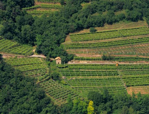
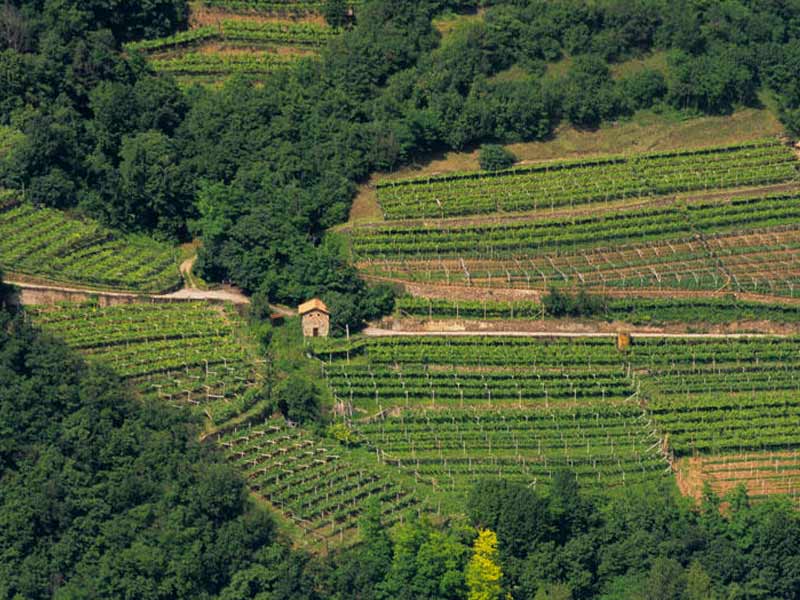
- Treatment and photointerpretation of the the plot images


